The Abel Tasman Track / Abel Tasman National Park
The Abel Tasman Track is New Zealand's most popular tramp, catering to 200,000 walkers each year, because of its moderately easy path, mild weather year-round, and the ample amount of camping provided. The track is named for the famous Dutch explorer, Abel Tasman, who first came to the area in the 1600's.

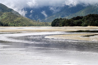
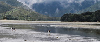
Some areas of the track can only be traversed at low-tide, so having current tidal information is essential.
Distance: 51 km
Approximate Time: 3 to 5 days
DOC provides 4 huts and 20 campsites along the track, so it is very easy to follow this track at your own pace. Below is a description of a generally followed route.

Transport Nelson to Marahau Shelter
Approximate time: 1 hr 10 min
Marahau Shelter to Anchorage
Distance: 11.5 km
Approximate time: 4 hours
Fairly easy walking through beech forest while winding through gullies, many parts of the track are open. Views of Torrent Bay and the coastal islands are a highlight.
Anchorage provides a DOC hut with 24 bunks and heating facilities, as well as 100 camp sites.
Anchorage to Bark Bay
Distance: 9.5 km
Approximate time: 3 hours
This part of the track leads through some private residences, respect their privacy by sticking to the track. You climb through a pine forest, coming to the largest river in the park, Falls River, over which there is a 47 metre bridge. The track continues to climb before descending back to sea-level at Bark Bay.
The Bark Bay Hut is outfitted with 28 bunks and has heating. There are also 80 campsites provided.
Bark Bay to Awaroa
Distance: 11.5 km
Approximate time: 4 hours
A steep climb up to a saddle takes you away from the sea, returning to shore at Tongo Quarry where you can see Tonga Island off the coast. Climb once more, this time over Tonga Saddle and then the track descends to Awaroa inlet.
Awaroa Hut has 22 bunks and heating, additionally there are 36 campsites nearby.

Awaroa to Totaranui
Distance: 5.5 km
Approximate time: 1.5 hours
Awaroa Estuary can only be crossed during low tide, and after heavy rain it can become impassable. The track crosses a low saddle and enters a forest, finally emerging at Goat Bay. From here you climb to Skinner point from which you can enjoy nice views of the area, then follow the track down to Totaranui. This is the last stop for water taxis.
The Totaranui Camping Ground has 40 sites.
Totaranui to Whariwharangi
Distance: 7.5 km
Approximate time: 3 hours
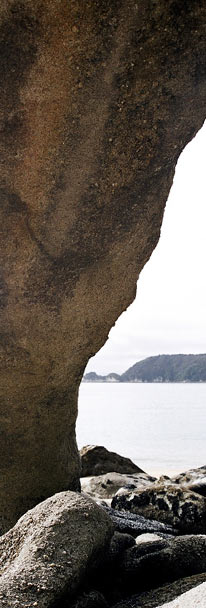
From Totaranui you climb over a saddle then down to the shore again through forest to Anapai Bay. The track takes you through sandy beaches and rocky headlands, finally bringing you to another climb over a saddle and down to Whariwharangi Hut. Note: This part of the track is largely considered to be the most spectacular part of the Abel Tasman.
Whariwharangi Hut has 20 bunks and heating facilities. There are also 40 campsites in the area.
Whariwharangi to Wainui Bay Car Park
Distance: 5.5 km
Approximate time: 1.5 hours
For this last part of the track gives nice views of the inlet from a saddle, then winds down along the estuary to the car park.
Wainui Car Park to Nelson by return shuttle bus transport
Approximate time: 2 hour 15 min


